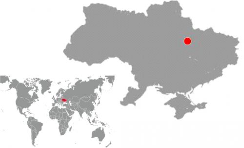
Akademik Shpak oil field, Dnieper-Donets Basin Ukraine, 2012
Figure 1.Rock density in Permian - Upper Carboniferous sediments (A), geological section through the producing well (drilled in 2013) combined with 3D density model section (created in 2012) through the well (B). Light green areas correspond to low-density rocks and outline an oil pool
GEOLOGICAL PROBLEM
The central part of Dnieper-Donets Basin is characterized by active salt tectonics. Hydrocarbon accumulations are confined to Carboniferous and Lower Permian sediments. Within the study area, shallow gas pool of Runivshchyna field was earlier discovered in Triassic just above the salt dome. Besides, the investigated area includes marginal part of nearby Matviivka oil-gas-condensate field with pools in Carboniferous.
New hydrocarbon pools were expected to be found near the salt wall and under the salt wing of Runivshchyna salt dome which was quite a challenging task. High-precision gravity data were used to validate and refine the shape of the salt and identify hydrocarbon-bearing pools around the salt dome.
Figure 2. 3D model of Devonian salt, Runivshchyna salt dome and salt wing (gray color), Runivshchyna gas field (green color) and discovered oil field (red color)
Figure 3. Initial (left) and final (right) 3D density models with known gas fields and new oil field
GEOLOGICAL RESULTS
3D joint inversion of gravity, seismic and well data proved validity of the salt dome shape, mapped by 3D seismic data interpretation results. Low-density areas associated with known HC Runivshchina and Matviivka fields were clearly identified in the 3D density model (Figure 2, 3). Apart from that, there are low-density areas in the interval of Lower Permian and Upper Carboniferous sediments near the southwestern wall of the salt dome and under its salt wing (Figure 1,3).
The amplitude of density decrease corresponds to that for hydrocarbon-bearing reservoir rocks of Runivshchyna and Matviivka fields. Therefore, these areas were interpreted as a new commercial hydrocarbon-bearing pool.
The first exploration well #110 was drilled in 2012 (after the 3D density model had been created) and obtained commercial oil inflow from Upper Permian - Lower Carboniferous (Figure 1).
3D GTAVITY INVERSION WORKFLOW
A structural framework was built using 3D seismic data interpretation results for target horizons in Carboniferous. Structural model of underlaying Devonian sequence (including mother salt) and the basement was built using regional 2D seismic lines. Wells from nearby fields were used to define density model of the target Carboniferous interval. Generalized petrophysical density relations derived for Dnieper-Donets Basin were used for deeper horizons. Structural 3D model consisted of 16 surfaces.
Dimensions of 3D density model were 43x25.5x20 km. Voxel property model discretization (cell size) - 100x100x50 m. Total number of cells – 32.9 million.
Standard deviation (SD) between the observed gravity and gravity calculated from the initial 3D density model was 7.154 mGal; between observed gravity and gravity calculated from the final 3D density model was 0.219 mGal relative to the gravity field, the initial 3D density model was improved by 33 times).
UKRAINE GAS INVESTMENT CONGRESS 2021 20/10/21 DEPROIL LTD sponsored and participated in the Ukrainian Gas Investment Congress.
CEO professor Oleksandr Petrovskyy made a report "Gas Production Breakthrough in Ukraine - Technological and Geological Prerequisites to Succeed" underscoring the beggining of the new paradigm in gas and oil fields...» Read more